Sikkim
Home / Guides / Sikkim
Northeast India · State

Sikkim

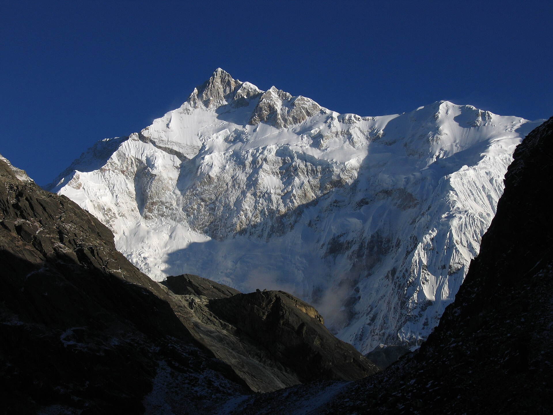
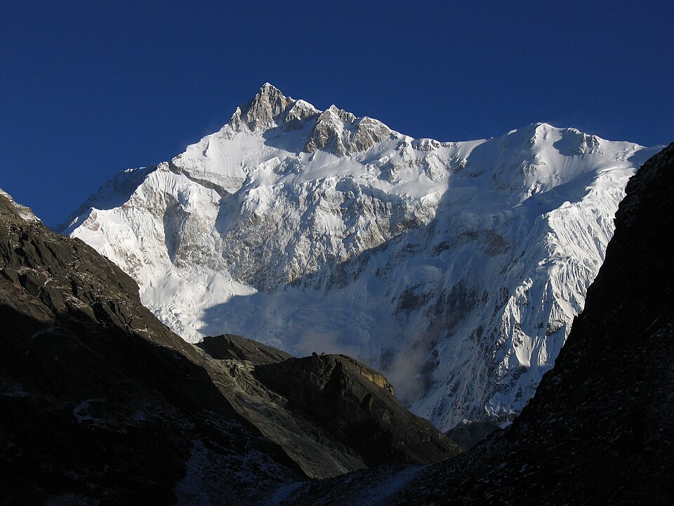
Monasteries under Kangchenjunga

Photo: Ashinpt, CC BY-SA 3.0
Capital

Gangtok

Best time to visit

March to May and October to December

Getting there

Fly to Pakyong or Bagdogra, or take a train to New Jalpaiguri, then drive 4 to 5 hours to Gangtok. Some areas need permits.

Ideal trip

10 to 14 days to cover the highlights

About Sikkim

Small and clean, Sikkim sits beneath Kangchenjunga, the world's third-highest peak. It mixes Buddhist monasteries, alpine lakes and rhododendron valleys.

Plan a trip to SikkimMark it on my map

Popular cities in Sikkim

Been to any? Mark them on your India travel map.

GangtokLachungNamchiPellingRavangla (Rabongla)

Top places in Sikkim

GangtokPhoto: Ashinpt, CC BY-SA 3.0

Gangtok

A neat hill capital with MG Marg, monasteries and views of Kangchenjunga on clear mornings.

Best time: March to June, October to DecemberBase: Gangtok2 daysCityMountains
Directions
From Wikipedia

Gangtok is the capital and the most populous city of the Indian state of Sikkim. The seat of eponymous district, Gangtok is in the eastern Himalayan range, at an elevation of 1,650 m. The city's population of 100,000 consists of the three Sikkimese ethnicities: the Bhutias, Lepchas, Indian Gorkhas as well as plainsmen from other states of India. Within the higher peaks of the Himalayas and with a year-round mild temperate climate, Gangtok is at the centre of Sikkim's tourism industry.

Read more on Wikipedia ↗

Video by Travellifewithsej on YouTube

Tsomgo LakePhoto: Indrajit Das, CC BY 3.0

Tsomgo Lake

A glacial lake at about 3,750 m, often frozen in winter. Permit needed.

Best time: March to June, October to DecemberBase: Gangtok1 dayMountainsNature
Directions
From Wikipedia

Tsomgo Lake, also known as Tsongmo Lake or Changgu Lake, is a glacial lake in Changu in the Gangtok district of the Indian state of Sikkim, some 40 kilometres from the capital Gangtok. Located at an elevation of 3,753 m, the lake remains frozen during the winter season. The lake surface reflects different colours with change of seasons and is held in great reverence by the local Sikkimese people. Buddhist monks prognosticated after studying the changing colours of the lake.

Read more on Wikipedia ↗

Video by Rajat Thakuri on YouTube

Yumthang ValleyPhoto: Joginder Pathak, CC BY-SA 2.0

Yumthang Valley

The Valley of Flowers of the east, with rhododendrons in spring and hot springs.

Best time: March to JuneBase: Lachung2 daysNatureMountains
Directions
From Wikipedia

The Yumthang Valley or Sikkim Valley of Flowers sanctuary, is a nature sanctuary with river, hot springs, yaks and grazing pasture on rolling meadows surrounded by the Himalayan mountains in Yumthang in the Mangan district of Sikkim state in India. It is approx. 75 kilometres from Mangan town, the district headquarters. It is at an elevation of 3,564 metres above msl at a distance of 150 kilometres from the state capital Gangtok.

Read more on Wikipedia ↗

Video by Wild Indian Rover on YouTube

PellingPhoto: Kothanda Srinivasan, CC BY 2.0

Pelling

Pemayangtse Monastery, the Rabdentse ruins and close-up views of Kangchenjunga.

Best time: March to June, October to DecemberBase: Pelling2 daysSpiritualMountains
Directions
From Wikipedia

Pelling is a hill station in Gyalshing district of Sikkim, India. Pelling is nestled at an altitude of 2,150 m. The town is located at a distance of 10 km from Gyalshing city, the district headquarters and 131 km from Gangtok. A regular bus service connects the two towns. However, with the influx of tourists, the region is undergoing a metamorphosis, with the roads being repaired and hotels being set up.

Read more on Wikipedia ↗

Video by Kathika Nath on YouTube

Lachung and YumthangPhoto: Indrajit Das, CC BY-SA 3.0

Lachung and Yumthang

A high valley village, the base for the rhododendron sanctuary and Zero Point.

Best time: March to June, October to NovemberBase: Lachung2 daysMountainsNature
Directions
From Wikipedia

Lachung is a town and hill station in Mangan district in the Indian state of Sikkim. It is about 50 km from Mangan, the district headquarters. It is near the border with Tibet. Lachung is at an elevation of about 9,600 feet and at the confluence of the Lachen and Lachung Rivers, both tributaries of the River Teesta. The word Lachung means "small pass".

Read more on Wikipedia ↗
Ravangla and Buddha ParkPhoto: Subhrajyoti07, CC BY-SA 4.0

Ravangla and Buddha Park

A 39-metre Buddha statue facing the Kanchenjunga range in south Sikkim.

Best time: March to May, September to DecemberBase: Ravangla1 daySpiritualMountains
Directions
From Wikipedia

The Buddha Park of Ravangla, also known as Tathagata Tsal, is situated near Ravangla in South Sikkim district of the Indian state of Sikkim. It was constructed between 2006 and 2013, and features a 130-foot-high statue of the Buddha, erected to mark the 2550th anniversary of the birth of Gautama Buddha, as its main attraction. The statue, built of 60 tonnes of copper, is an example of repoussage. Mount Narsing forms the backdrop to the statue.

Read more on Wikipedia ↗
NamchiPhoto: Subhrajyoti07, CC BY-SA 4.0

Namchi

Char Dham replica and the giant Guru Padmasambhava statue on Samdruptse hill.

Best time: March to May, September to DecemberBase: Namchi1 daySpiritual
Directions
From Wikipedia

Namchi is a town and the administrative headquarters of the South Sikkim district in the Indian state of Sikkim.

Read more on Wikipedia ↗

Gurudongmar Lake

One of the highest lakes in the world at 5,430 m, sacred to Buddhists and Sikhs. Permit needed.

Best time: April to June, October to NovemberBase: Lachen2 daysMountainsAdventure
Directions
From Wikipedia

Gurudongmar Lake is one of the highest lakes in the world and in India, at an elevation of 5,430 m according to the Government of Sikkim. It is located in the Great Himalayas in the Mangan district in Indian state of Sikkim, and considered sacred by Buddhists. The lake is named after Padmasambhava, who visited it in the 8th century.

Read more on Wikipedia ↗
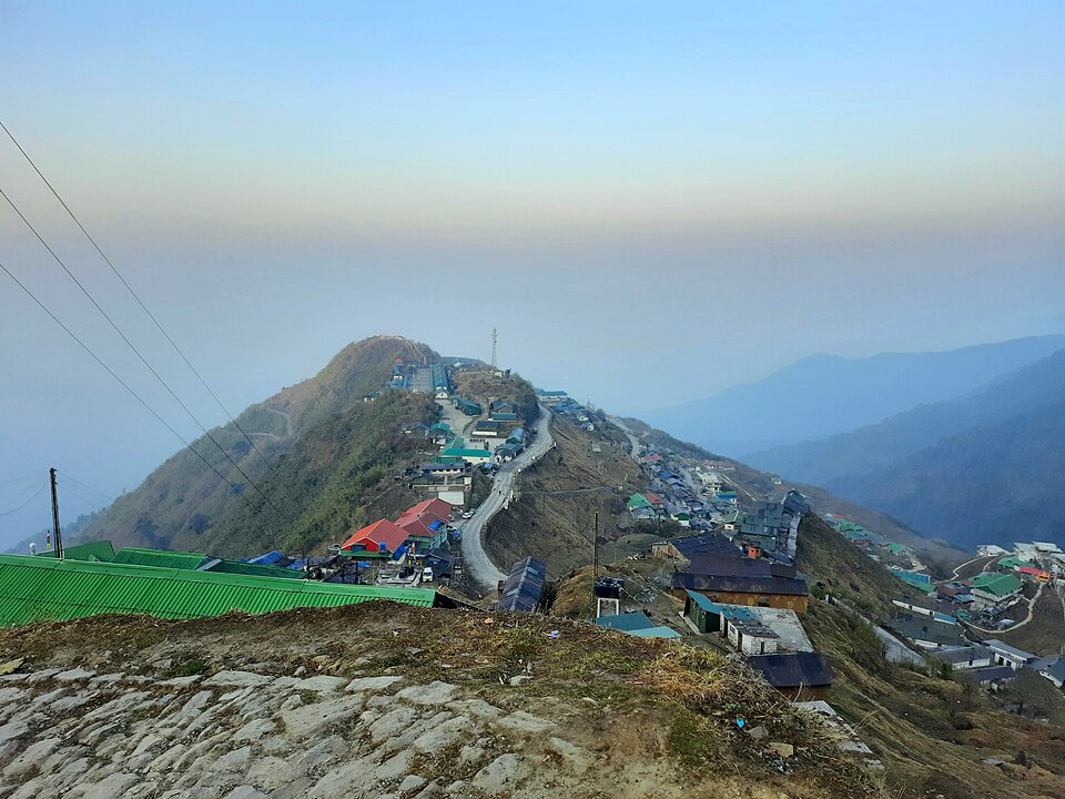
Zuluk and the Silk RouteHidden gemPhoto: Tsen2006, CC BY-SA 4.0

Zuluk and the Silk Route

Zigzag roads of the old Silk Route with sunrise over Kanchenjunga at Thambi viewpoint.

Best time: March to May, October to DecemberBase: Zuluk2 daysMountainsAdventure
Directions
From Wikipedia

Dzuluk or Zuluk or Jhuluk or Jaluk is a small hamlet located at a height of 9,400 feet on the rugged terrain of the lower Himalayas in Rongli Subdivision of Pakyong District, which lies in the Indian state Sikkim. This place is relatively an emerging and offbeat destination in Sikkim. Today it is a tourist destination for the view of the eastern Himalayan mountain range including the Kanchenjunga.

Read more on Wikipedia ↗

Food to try

Momos, thukpa, gundruk soup, phagshapa, sel roti, chhurpi

Where to stay

Gangtok as the base, Pelling for west Sikkim, Lachung and Lachen homestays for the north

Getting around

Fly to Bagdogra or take a train to New Jalpaiguri, then shared jeeps or hired cars

Good to know

Permits are needed for Tsomgo, Nathula and North Sikkim; your hotel or agent can arrange them. Plastic bottles are restricted.

Sikkim: quick answers

What is the best time to visit Sikkim?

March to May and October to December

How do I reach Sikkim?

Fly to Pakyong or Bagdogra, or take a train to New Jalpaiguri, then drive 4 to 5 hours to Gangtok. Some areas need permits.

How many days do I need for Sikkim?

Plan 10 to 14 days to see the highlights, such as Gangtok, Tsomgo Lake, Yumthang Valley.

What food should I try in Sikkim?

Momos, thukpa, gundruk soup, phagshapa, sel roti, chhurpi

Where should I stay in Sikkim?

Gangtok as the base, Pelling for west Sikkim, Lachung and Lachen homestays for the north

Neighbouring states

Timings, fees, permits and road conditions change. Please check official sources before you travel.